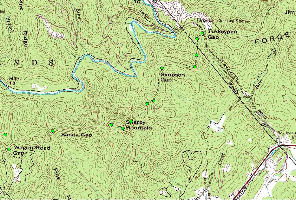
Turkey Pen Gap Loop
Began on the Turkey Pen Trail (Lat: 35.34305 Lon: -82.65933) The original hike
was to be 5.7 miles and 2500 feet elevation gain, about a four hour loop.
We left the horse trailer parking area climbing up the Turkey Pen Gap Trail,
which is a brisk climb, at one point going up 600 feet in less than a quarter
mile up to Simpson Gap, then more climbing up to Sharpy Mountain. If you
make it this far, the rest of the hike is relatively easy. Next we took Sandy
Gap till it met Wagon Road Gap and climbed down to the South Mills River Trail
and headed right, intending to cross the river on the suspended foot bridge, but
it was washed out and the water at the horse crossing ford was too, deep and
swift, due to the recent rains. That killed our hopes of an easy walk
along the river back to the parking area, so we had to backtrack our original
route, changing our hike from 5.7 mile loop and 2500 feet altitude gain, into an
intense 6 mile 5,000 foot marathon. We got back to the parking area just
at dusk.
New hiking rule! Have a turn around time. Allow enough time
so that you can retrace your route, even if you make it to within half an hour
of the hikes normal completion. Jeff and I took 4 hours to reach the river
and made it back in just over 2 hours. We really hauled butt. Just
another great hiking adventure. Loved it!
Gallery2
Topographic map with GPS tracks shown.
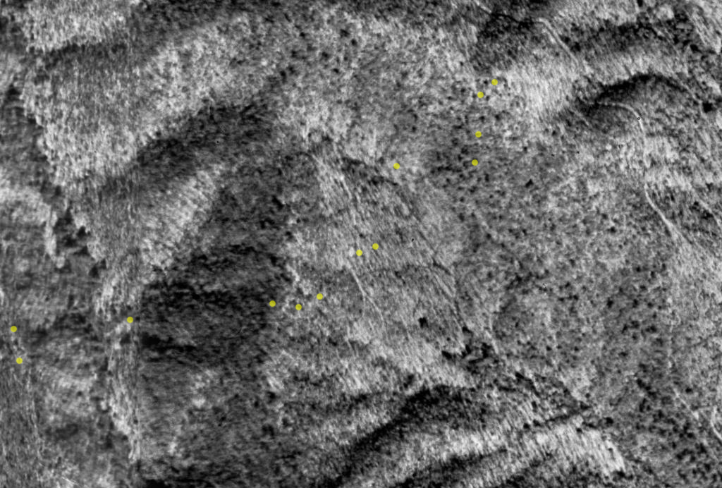
Satellite Photo with GPS tracks shown.